CAM season in Maryland again

It is that time of year when Maryland hosts our Cache Across Maryland. They outdid themselves this year. Usually CAM consists of 10 locations scattered around Maryland. This year is a visit to all 26 Maryland counties! I have been hip deep in traveling everywhere, including zigzagging every nook and cranny of Maryland lately. I am almost done CAM, and still have a couple good road trips and hikes to look forward to. It goes without saying we had some of the best days of our lives recently. I put up a bunch of pictures, mostly the dogs, from recent CAM travels throughout Maryland HERE.

I drove all the way across CA, to drive back across CA

Day 40:
Today I met Sandy, hands-down the coolest dog of my trip.
I woke up in the most perfect location after sleeping along the PCH. I got up, rub my eyes, stretched, brush my teeth and got ready for another day. I wasn’t sure where I was heading yet, but once I started looking and thinking about it my brain was racked with decisions and choices. I think I changed my plan 100 times over the course of 30 minutes. I even turned around from where I was heading , and then re-turned back around around. I know I have to land in the northeast corner of California at some point. That’s about six hours from where I was. So, I think right now my plan is to head there, backtrack, hopefully for the night at Crater Lake, and then back out to the coastline immediately after that.
Everything turned out as planned, even better actually. I left the coast and head inland. I passed through Veneta Oregon. Home of the Oregon country fair. I’m an East Coast person, but that fair holds a lot of amazing memories of my adolescence. I used to spend two weeks each year out here with friends in Eugene, around the country fair. I did that for four or five of my most formative life years. I had to stop in. Luckily there were a couple of geocaches that brought me exactly where I wanted to be. I think the best memory I now have of the Oregon country fair is driving my van all over the empty fairgrounds, at the end of August, a month after the fair. Seeing all the permanent hippie dippy structures and signs, with nothing else around or nobody else around, that’s a memory I’ll have forever. It put a giant smile on my face and still has me giggling.
Vitreous here I come. Most of the morning I drove through the forest of southern Oregon making my way to Northeastern California. Vitreous falls into the category of things I’m looking for on this trip. Only by one single day, but it made the list.
I pulled up to the diesel pump and parked next to this guy with unbelievable log cabin on a pick-up style RV. We got to chatting and he said “I guess we’re heading to the same place?”
I thought quickly. I’m driving about 14 hours out of the way to find one geocache from the year 2000, so I doubt it. But I simply answered, “Doubt it, where are you heading?”
Burning Man he said. OK now maybe I’m going to burning man for a day. I found out later, the guy I met buying diesel is a bit of an internet celebrity: Truck House Life https://www.youtube.com/c/TruckHouseLife
I made great time and found Vitreous and one of it’s neighbors. I chatted with some ladies that were finding obsidian ‘needles’. I got an interesting education about that. Then it was time to boogie toward Crater Lake. I made everything in perfect timing somehow. As I got into the park and did the ring road, the sun was setting. Every corner presented a new sunset view. It might be the most epic sunset I have ever seen. I shot it from many angles. Then I found a pull off to call home. The sky is crystal clear. I parked, ate, and got my camera set up in perfect time to catch the galactic band passing by. So unbelievably amazing.
I set up camp and had a giant pull off all to myself all night. It was a perfect southwest facing view. I was able to photograph the stars in the Milky Way and the galactic band all night with crater Lake as the foreground. It was hypnotic and mesmerizing.

Day 41:
10,700 miles and counting
I woke up in crater Lake this morning. I have no idea how I got here, but I’m sure glad I was here. I got here just before sunset last night. So, I had to race around and take photographs from different angles before I lost the good light. Then I set up camp and had a giant pull off all to myself all night. It was a perfect southwest facing view. I was able to photograph the stars in the Milky Way and the galactic band all night with crater Lake as the foreground. It was absolutely hypnotic and mesmerizing.
When I say I woke up in crater Lake, I was awake most of the night taking pictures. But I had to be ready for the sunrise. I was! I made it around to the other side of the lake around 6 AM to catch the sunrise pictures from there. After that was done, I then took the time to drive the rim Road and investigate each of the virtual and earth caches around the lake.
After all those tasks were complete it was time to clean up for the day and make my way back to the coast. I spent all day yesterday driving from the PCH, inland, to Northeastern California, just to turn around today and head back to the PCH to continue my journey south on that.
Crescent City is where I will pick up the PCH again. I will travel south from there, hopefully stopping around Eureka. I have a very old, dear friend that lives there. He used to be the front man of a very famous rock and roll band back in the 90s. I don’t want to say much more and give away this persons location.
I continued south, keeping the ocean on my right for the entire afternoon. I had to be in Arcata around six. I leisurely drove and stopped for random tourist options, and mostly non-traditional geocaches.
Boy those redwoods sure are impressive.
I caught up with an old friend for a few hours, had a blast, more fun than I deserve. It almost makes me wish I could live a normal life. Then it was to a nearby community center and tuck myself in for the night.

Here is my longest and probably best time lapse so far. Around 400 images:

I did start an album of this trip that I am updating as I process. HERE.

Several very adventurous and off road days in a row

Day 18:

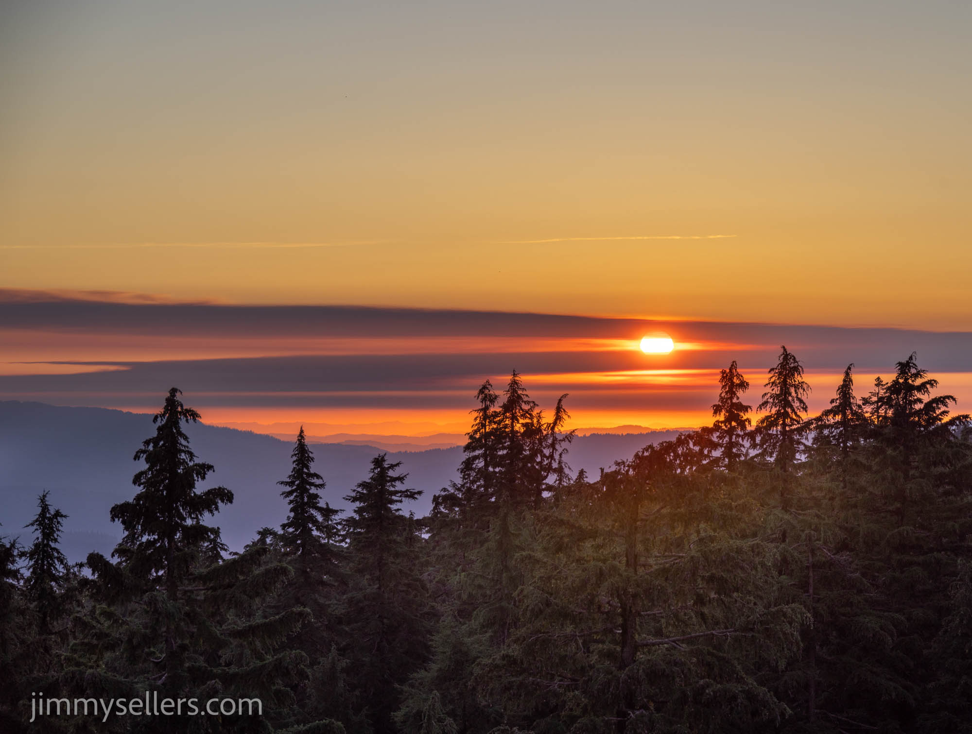
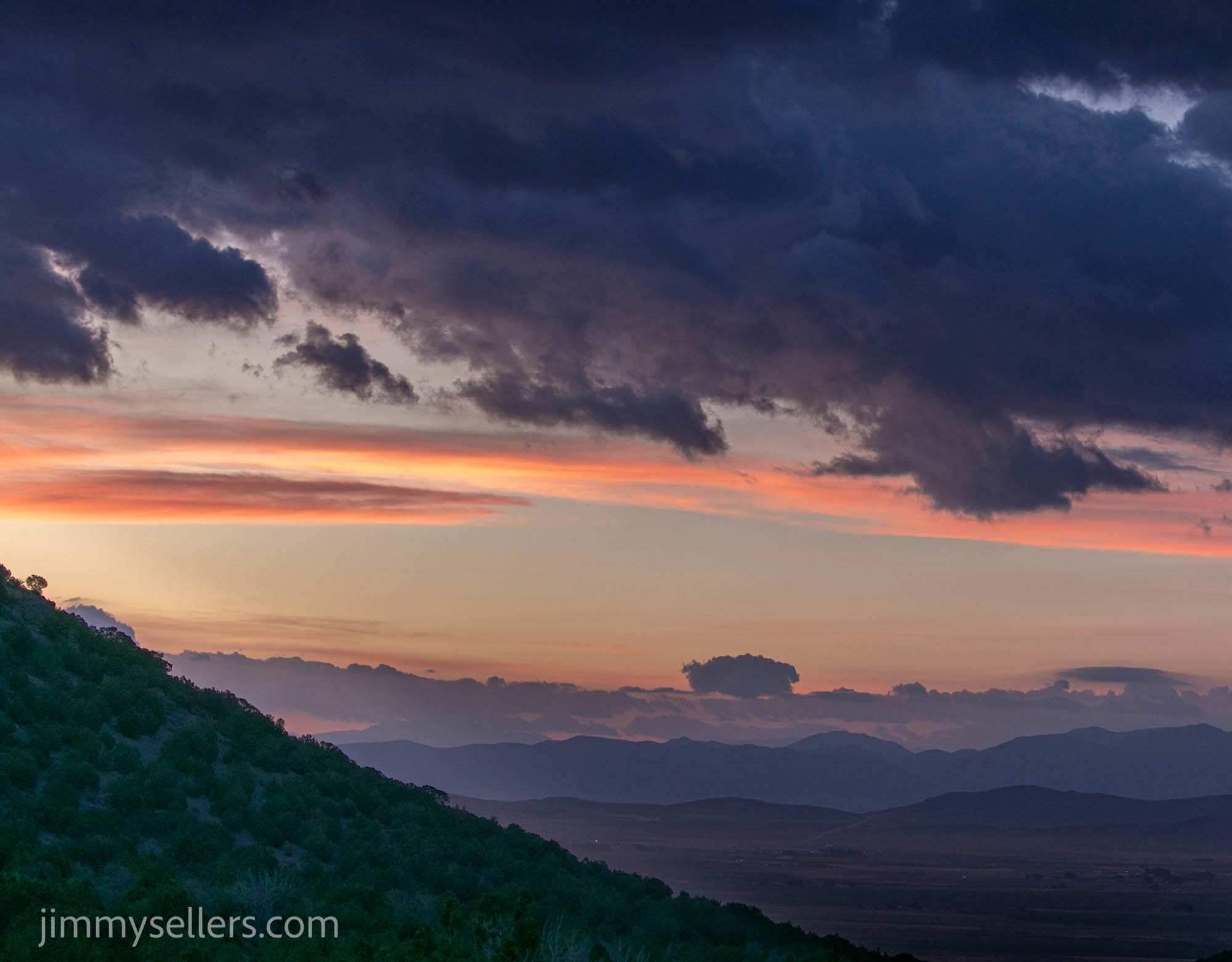
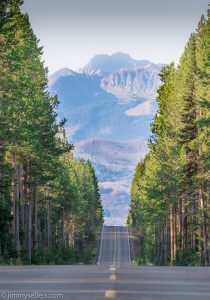
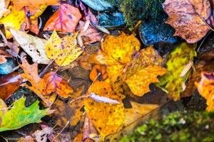
I slept near a pet Cemetery last night. I got moving plenty early in the morning, but it’s hard to get much done when the sun rise is like they are in Utah. One direction is the most beautiful pinks and oranges lighting up the mountains. 180° the other way the sun pokes it’s head up over another set of mountains. I’m trying to get things done, 
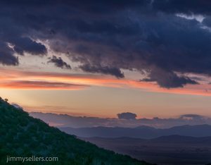
Mother Nature, and I keep having to stop and take pictures. Very inconsiderate.

I did a short trail of letter boxes. I got through them quick, no opposing traffic, perfect weather, and a van with a side door that I could just leave open, getting in and out like a mailman. I found all that I looked for, a couple of them were originals, a couple replacements, and I found a couple completely cracked and destroyed and left behind new film canisters. From here I have the half day trek to get to the Beaver hide.

During that drive I saw people living life the way I grew up. I passed a guy going the other way on a four-wheeler. He had his small daughter in front of him, holding her, letting her steer, and a beer in the other hand. Perfect.

I wish I could have a do-over on today, or at least the 2nd half. I wasted at least five hours trying to get to Beaver. Or I wish I had done some more research ahead of time. I did a lot of due diligence planning for this trip, but I guess I slacked or failed on this one.

First, I ran up one road and hit an absolute dead end with a gate with a lock on it. After that I rerouted and ended up in places that I should not have been. I made it through, probably breaking everything about 
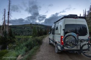
Pervvie, poor girl. And then I had to spend an hour just getting back to some sort of civilization to reroute. I read some old geocaching logs about route 6 and French Creek. I found that area on Gaia, and off I went. Another 4 hours, man, I really put on a lot of rough, off-road miles today. About 3 times more than required. But Beaver did turn out to be a park and grab. I did finally get to the top, the view was amazing. Truly unbelievable. I was so proud of my Pervvie. I gave her the honors of a photo with the ammunition can.

This is a memory I will never forget. Probably because my butt cheeks will never unclench from this experience.

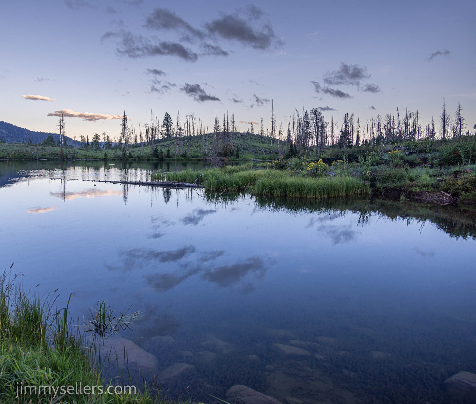
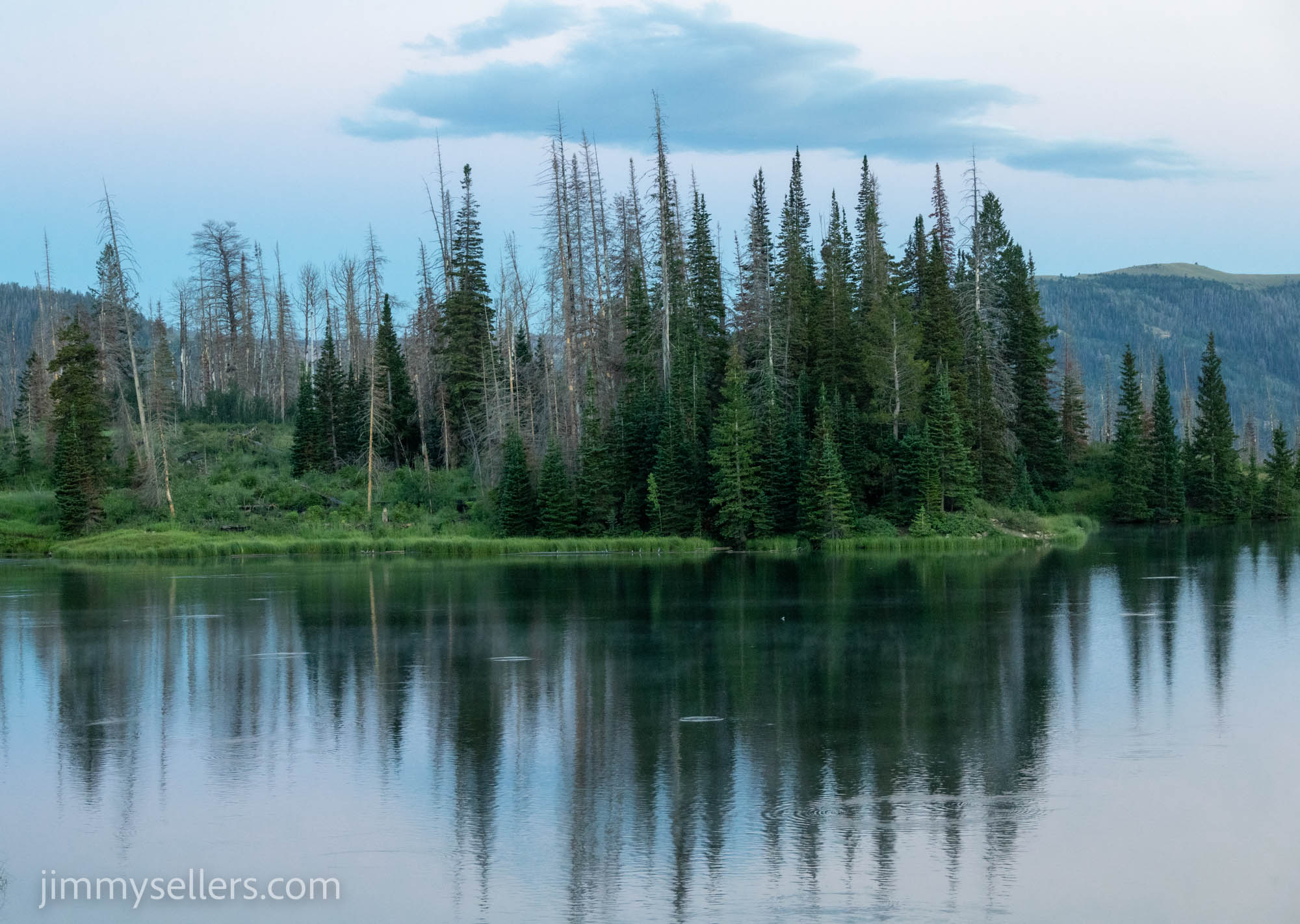
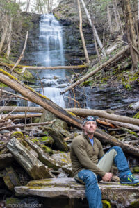
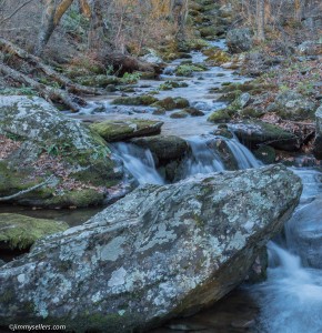
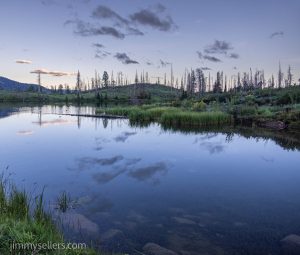
After I made it back to civilization, I drove to Potters. What a beautiful drive it was. I got there and got settled, planning to spend the night here. I decided to go do a headlamp hike as the sun was setting, take some pictures of the lake, and do the loop for the old hide.

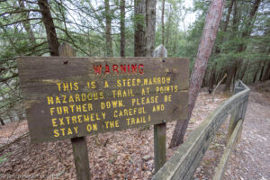
I found everything I looked for except a trail. I’ve done a lot of dumb 
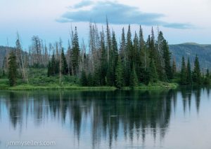
things on this trip but bushwhacking around in the pitch black for a couple of miles maybe now at the top of that list.


Day 19:

I slept at the old hide, Potter’s last night. I got on the road early, I would’ve liked earlier, but I was extra comfy in my mobile bed this morning. I had about a 2-hour drive where I was going next, a Little Creek Stash.

I came off the mountain, fueled up, got a sandwich, and headed where I was going. As always, I was distracted by other geocaches right in my path.

The first old one this morning was the least dramatic so far. No problem at all, parked close and made a short trek to the find. I didn’t break myself, my van, or anything on this one.

Next was to get the Cache Across America Utah version. I saw where it was and it would be easy, looks like it’s in the middle of a power trail. No time for that, but I did make time to find a bunch of the nontraditional‘s, letterboxes and multis. Geocaching power trails are very popular. They are endless amounts of geocaches along the roadside. People increase their find count by many thousands, even tens of thousands using these power trails. I do not think hell exists, but if it did, I would be forced to do power trails. The secret about hell is that you don’t even know you are there, that is how bad it is. Such an unappealing way to spend the time.

I visited the state house in Fillmore. It was perfect, I needed to re-up on water, and they had a spigot out front. It is as if I needed something, and the universe provided for me. Either that or I just stole water from a municipality.  I found out later I could’ve waited and just stole some water from the graveyard I would have to visit.

Boy, do I love Beaver! Had an amazing run-in with an adorable family at the multi. I was struggling terribly, they noticed a geocacher in distress, and came to save the day! I was hoping they were going to invite me along with them camping, but we ended up parting ways.

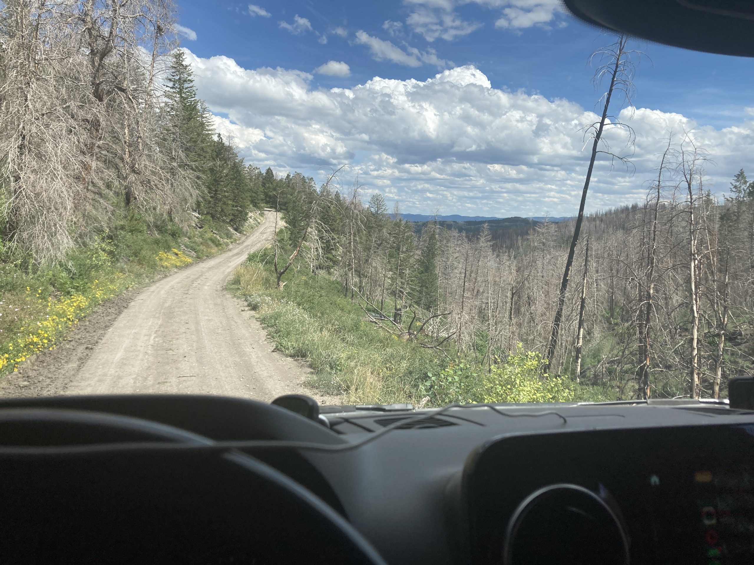
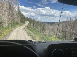
Time for Wah Wah next. My notes said no problem. My notes were wrong. I started all wrong by entering from the east side. I spent about 4 hours getting nowhere, dead ends, and unpassable (by us) roads. I finally flagged down an ATV’er, and they set me straight. I ran the 
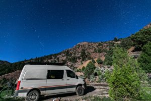
main road all the way through the forest, then doubled back to where I was already within 3 miles of, but not good enough. Once here, I had probably 30 minutes wrapped up in the find. The coordinates do take you to a brand-new fence. At least mine did. I had no service, so no access to images. I scoured the obvious area 3 times before spotting it. I was going to be so bummed, but it is there, in the obvious place. And all the names before mine are on the log sheet, no matter where it was located.

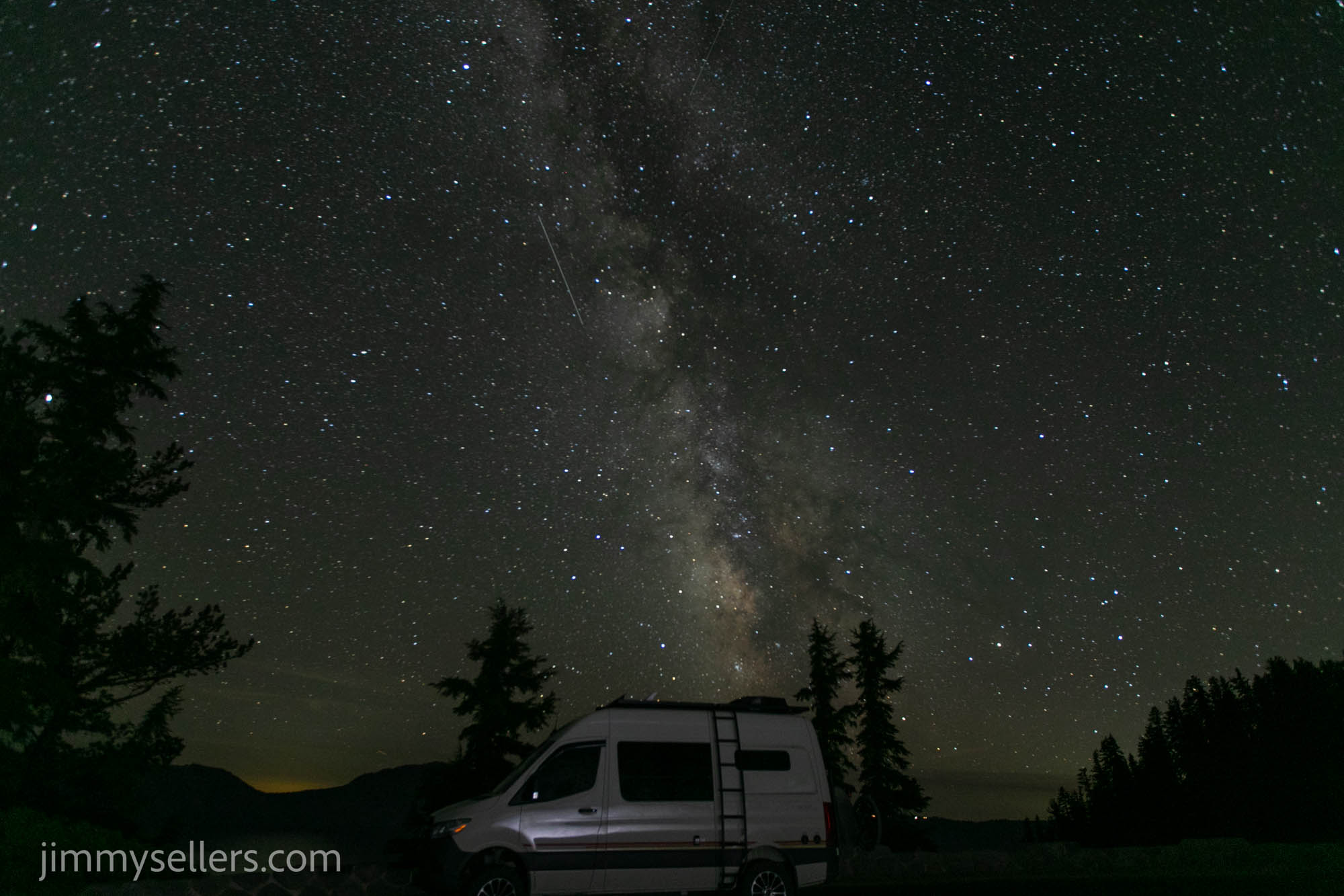
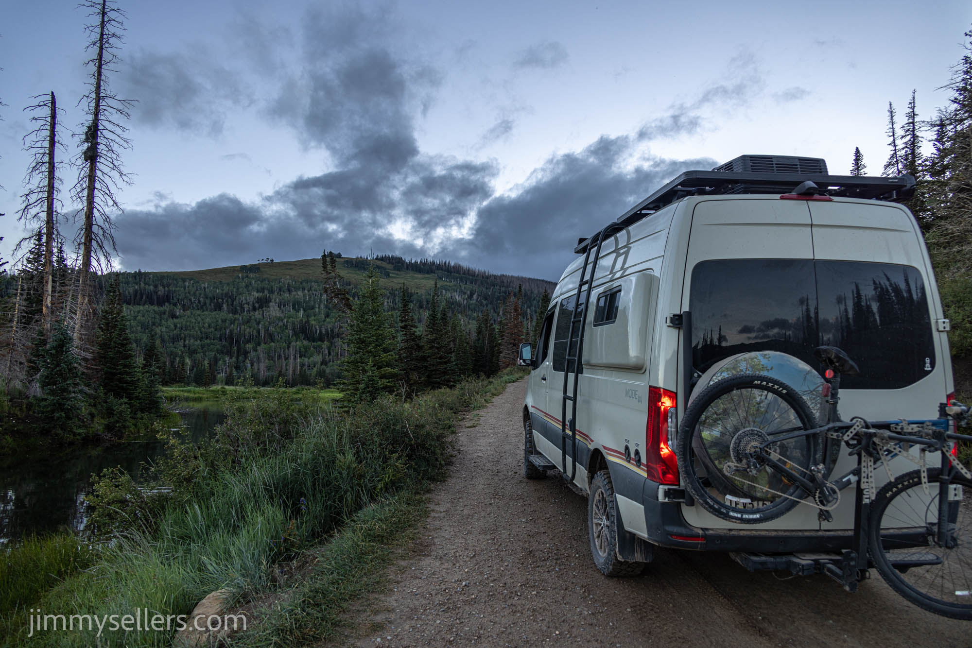
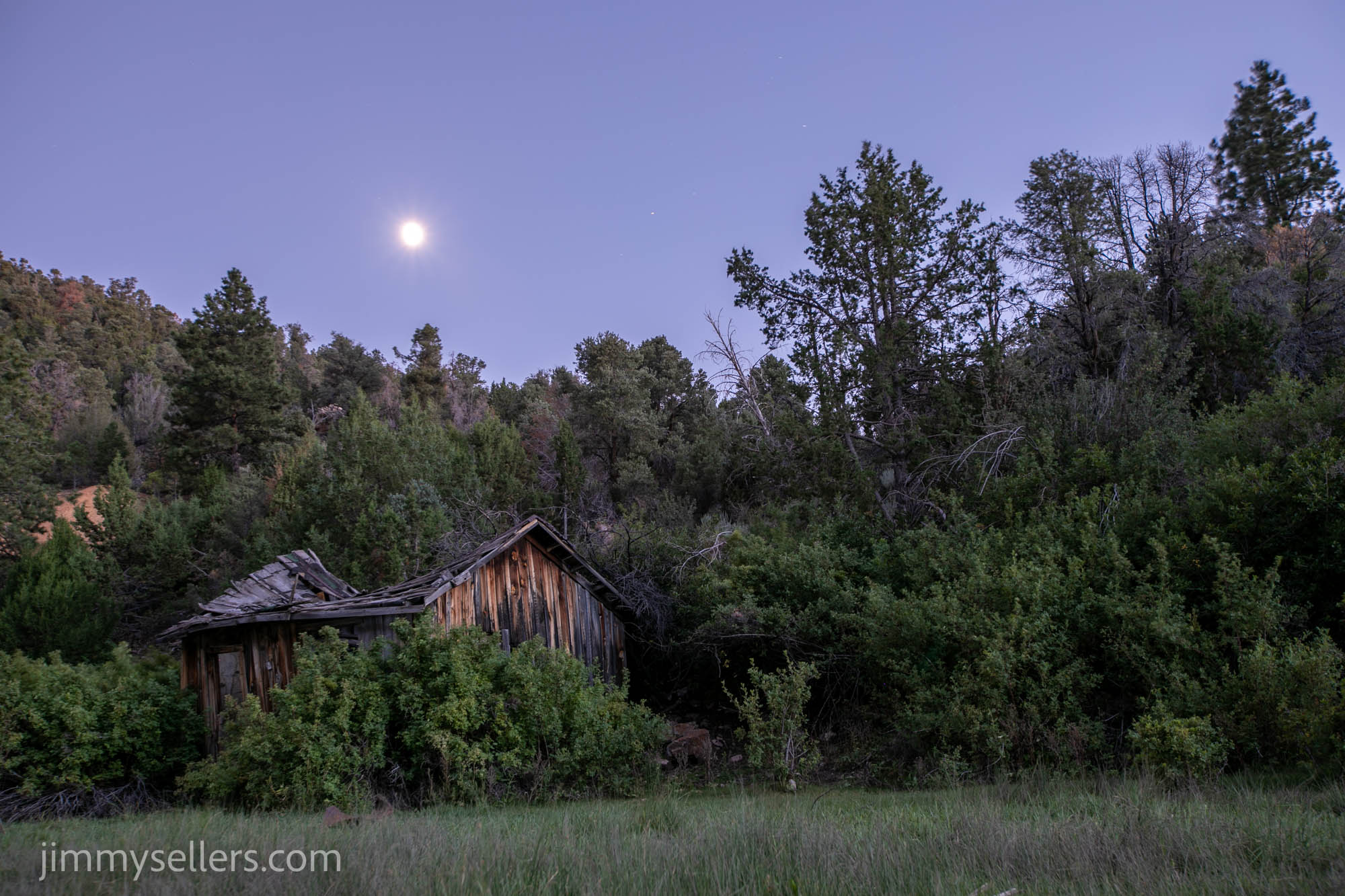
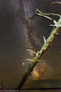
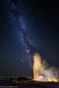
I then chose here to spend the night. I wanted a shower, dinner, and to 
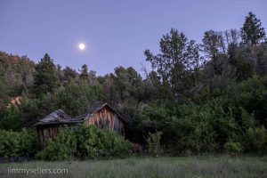
take pictures of the night sky, with the awesome foreground of those broke down shacks across the road from the ammunition can. Those photographs turned out amazing! Glad I stayed here. Did not see another human for over 12 hours at least.

Day 20:

I left where I slept, right at the Wawa Stash, not so early in the morning. My intent was to get somewhere near the Utah/Arizona border. I would spend the day and night there, as I have a bunch of 
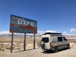
personal and work things I need a hotel to catch up on.

I wasn’t originally going to go try for the old one at Lake Powell.  My plan of what I was going to do has changed 20 times over the last two days. But as of right now the plan is to try to go to Lake 
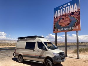
Powell. A lot of the morning was focused on just safely getting myself out of the forest. Some of those forest roads are deathly terrifying.

Nontraditionals catch my eye more than anything on this trip. I saw a multi not too far off my road route. So glad I decided to take the time for that one. Quite a lonely cache, had not been found in over 6 years. Awesome little side adventure. My favorite thing about road tripping is finding the weirdest things, like a 
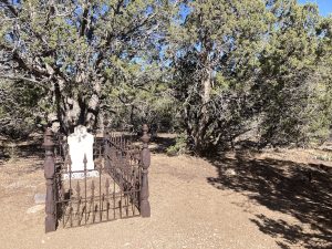
single site graveyard in the middle of nowhere. I can’t wait to sit down and figure out what that’s all about.

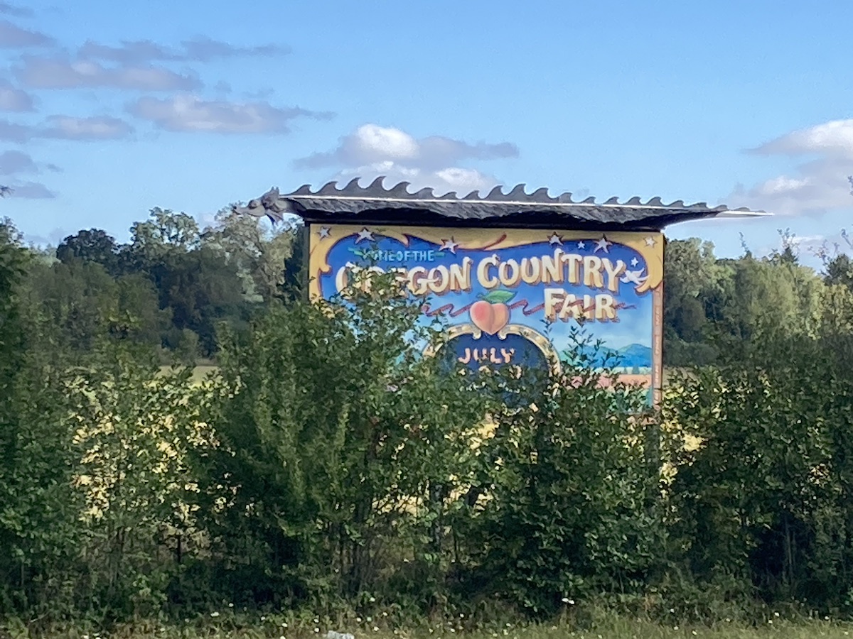
I passed through the town of prehistoric Parowan Utah. I spent time finding a few fun geocaches here. I wish I was passing through during this county fair, I bet it’s awesome. The signs everywhere said it was coming up soon, but not soon enough for me.

I took the scenic route. I passed through and over the town of Brians Head in Utah. I’ve never heard of it before, but it was beautiful.

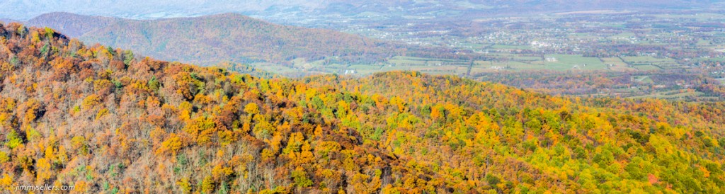
Today was mostly about driving through southern Utah, the mesas and the views and the amazing colors and formations. I didn’t get much done today recreationally as I was doing my best to get into a hotel quickly, for a conference call, and then catch up on real life work and responsibilities.

I got checked into my hotel in Page, had a pizza, and partially caught up on the real world. Back to nonsense tomorrow. Jet ski nonsense!

I did start an album of this trip that I hope I will remember to update. HERE.
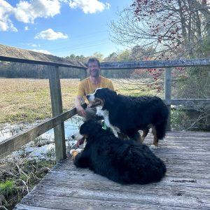
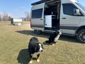
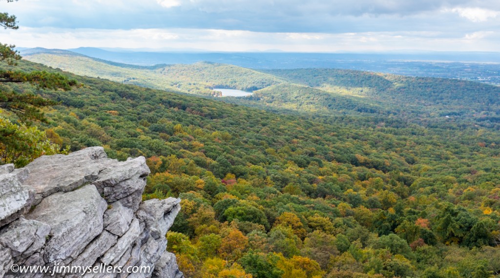
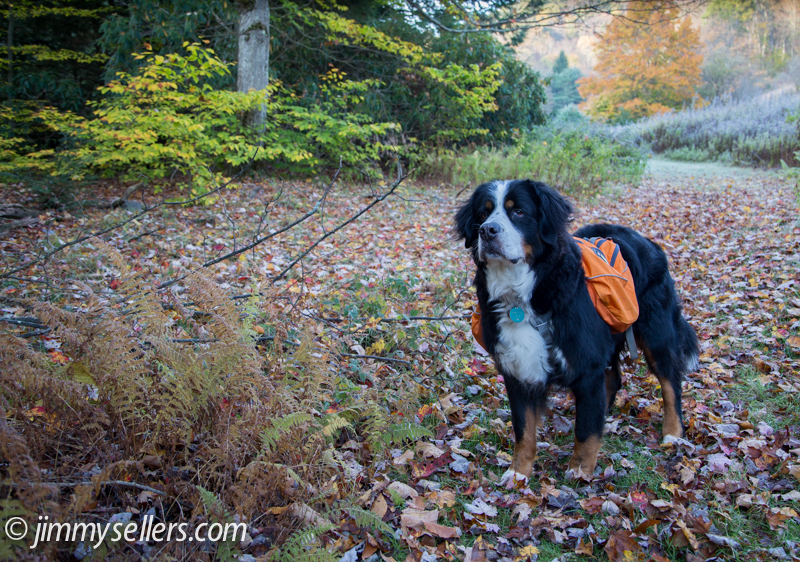
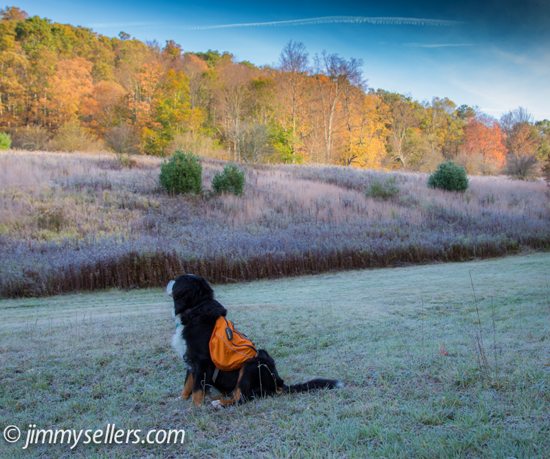
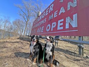
PA Grand Canyon getaway April 2022

HERE is an album of pictures I took, mostly waterfalls.

Wow! What a great weekend away in my campervan with my best non-geocaching buddy, Chappy. We left home on a Friday morning with a weekend planned at the PA Grand Canyon. It was an amazing weekend of outdoor fun, with an amazing friend, all happening under the umbrella of perfect spring weather. We left Maryland Friday and took our time getting to Leonard Harris state park. This is where we would sleep with each other in my campervan for 2 nights. On the drive up we stopped for some fun sites, a meal, and a few geocaches. Chappy is not a geocacher, but he indulged me in my obsessions.

On Saturday, our first full day, we started early with the hike down and back on the east side of the Pine Creek Gorge Turkey Trail. After that, out to the overlooks. I took waterfall photos and am very happy with how some of them turned out. Regroup for a quick snack and then onto bike riding on the Pine Creek rail trail. We did 25 miles total on bikes, just over 12 out and back to where we parked. From the parking we then went another mile north on the rail trail, finding the 3 geocaches from Darling Run parking and north. Chappy is not a geocacher, so he could not care less, but also was very understanding and indulging about my addiction and personal needs. 25 miles of riding my bike, and 3 geocaches. That has to be a record for a geocacher.

After a long day on this side of the creek, we crossed over to Colton State Park. We drove along the creek side road to Chimney Hollow waterfall. I wanted to be here to get some pictures of the waterfall just before sunset. I think they turned out great. We never did find the trail up to the top and simply walk the creek all the way up. We did see a semblance of a trail to get us down 100 times easier. It was quite an adventure just to get some waterfall pictures. Well worth every second.

After this unbelievably fun and adventurous day, it was time for a steak dinner in the nearby town of Wellsboro.

Back to our campsite and a night’s sleep in my camPERVan.

The next morning started lazily with some breakfast and coffee at the campsite. After that we went back across to Colton State Park and walked a bunch of the miles of trails over there. We ran into a Boy Scout pack from New Jersey on the orange trail, and learned all about the possible overnight backpacking options in the future.

Throughout the weekend I found mystery caches and multi caches on days I needed them to fill the calendar. That’s one nice thing about traveling further away from home.

I had a great weekend of fun, excitement and adventure while camping and playing outside with one of my best pals and my favorite thing, my CAMperVAN! 

August 2020 Stir Crazy Cross Country Drive

Apparently I never posted anything here about this Cannonball Run. The pictures have been up since I got back. Last august I went stir crazy, had enough, and drove cross-country with a couple friends. We made it as far west as West Yellowstone, and then spent about a week in Yellowstone. Those two bozos flew home after a week, and I took my time driving back. If it was up to me, I’d have never made it. Sadly, I can’t convince my wife to get the dogs and horses and join me. I stopped in and visited many National Parks and Monuments on the way back home through, Montana, Wyoming, and the Dakotas. Sadly the California wildfires of the time ruined most of the trip for photography. I was able to get a few days in the beginning, but after that, the skies were wrecked.

Below are a few, but if you want to see all the pictures, they are HERE if you are interested.

I walked through Maryland on the Appalachian Trail

2015-10-Maryland-AT-hike-123

I saw enough of these white blazes for 1 weekend

I don’t have much to say, or a bunch of pictures to share. HERE are some pictures. When asked how it went 1 word springs out of my mouth every time, “miserable”. Me, Josh, and Freaky set out on my birfday weekend to spend 3 days, 2 nights, and 47 miles of walking through the woods. It was a perfect time of the year for this adventure. The leaves were at an almost perfect state of changing, the weather was cool, cold at night, and we even saw a little snowfall on our final day. We survived with no problems. We had plenty of water and food at all times, too much actually. We got dropped off in Harpers Ferry, West Virginia on Friday at sunrise and picked up Sunday late afternoon in Pen Mar Park, Maryland, which is right at the Pennsylvania state line. I am overly joyed that I completed this trek. I had apprehensions but Wifey was encouraging and insistent that I could make the walk. Even through all the pain we found some time for a little Geocaching and signing pieces of paper hidden in the woods, yay for us. It has created a memory that will not soon be forgotten. Most of the weekend was spent simply putting 1 foot in front of the other. In between those steps we saw several gorgeous overlooks, bumped into interesting people and scenes, and did not murder each other. As miserable as the walk was we had a lot of fun and laughs, which happens organically in a group of complete assholes. This was definitely a horrible experience that I hope to relive again one day. That is a lot of what makes a good memory. Remembering something that frightened, sickened, or made me nervous and knowing I did it anyway. Due to weight limitations I didn’t take my good camera, but I did take a small camera that I apparently do not like too much. HERE are some pictures if you are interested.

2015-10-Maryland-AT-hike-146

Prelude to an adventure

Last weekend Charlie the Dog and I went to Frostburg, Maryland for an overnight. We camped in a park and hiked both days. In the morning we woke up to completely frost covered ground, in Frostburg, how ironic (yuk). It was mostly a successful adventure. We had a great time with some fun people. I dropped my fancy camera and pack into moving water on Sunday. I panicked, but quickly realized I can’t travel in time, so there is nothing I can do. Thankfully I think only 1 thing is ruined, and it is one of the less expensive things. This weekend a few of us are going to adventure along the Appalachian Trail through the state of Maryland. I doubt I will make it alive. Wish me luck. How about these few great pictures from last weekend?!?

What a handsome fella

What a handsome fella

You don't see this in the part of Maryland I live

You don’t see this in the part of Maryland I live

Enjoying the view

Enjoying the view

Final camping weekend in Shenandoah Park

2014-10-26-Shenandoah-53A few weekends ago I went down for an overnight in Shenandoah National Park. It was the last weekend that the park was open for camping. Unfortunately I had to go down without my best hiking buddy, he’s still not doing great, definitely not up for mountain scaling. I wanted to try and get down for some of the leaf peeping. I think I was about a week too late for optimal photographic beauty. I still had a great time, went on 2 amazing hikes, first thing at sunrise and another shortly before sunset. In the morning I stumbled upon a place called Rapidan Camp. I 2014-10-26-Shenandoah-13knew nothing about it or that I was even going to end up there. Turns out this was the home of President Hoover. I was there first thing in the morning, nobody else around. There is a small museum there and the presidents actual home is still there by tour only. A nice older couple came walking out to greet me and asked if I wanted a tour of the presidents house. It wasn’t on my agenda of things to do that day, I don’t find presidents interesting in the slightest, but how could I turn down a private tour. It ended up being a very interesting and informative hour. I never would have imagined enjoying that time so much. I have never had a favorite president before, but I do now, President Hoover seemed pretty great. Anyone that would live in Shenandoah must be OK.

I did not take too many pictures and unfortunately did not get anything that I am crazy about. HERE are a few of the better ones: http://jimmysellers.com/pictures/index.php?/category/23

2014-10-26-Shenandoah-197-Panorama

Yosemite 2014 – Getting lost in the woods – Glen Aulin & Pacific Crest Trail

2014-09-Yosemite-688The final hike of the trip was a doozie. It had everything you might want in an adventure. Action, suspense, drama, cowboys, people getting lost, and waterfalls. The journey for the final day was mostly a circle starting from our tents, heading to the high country camp Glen Aulin, and then back down to civilization and Tioga Road. We started early and picked up the Pacific Crest Trail not far from our campsite. The PCT is the west coast equivalent of the Appalachian Trail on the east coast. It is a footpath through the wilderness that runs from Mexico to Canada. It has been my life long dream to set foot on the PCT since I first heard about it 2 months ago. Imagine how excited Josh and I were when we saw Pacific Crest Trail on the Yosemite map of the high country. It didn’t matter where that trail was, once we saw it, we were going to walk on it. The walk up to Glen Aulin was beautiful, mostly along a river with sporadic waterfalls. The only downfall was the time when Josh and Matt lost me. We were all together one minute, and then separated for the next hour or two. I was never worried, I had a GPS machine, and they had the power of numbers, although one of those numbers was Josh. I realized there was a problem when I ran into a cowboy, yes a real life cowboy, riding a horse, wearing chaps and a duster, carrying a gun, and leading a large line of donkeys. I asked the cowboy if he saw 2 other hikers the way he came from. He said no, I said no problem I’d meet them at Glen Aulin. He told me Glen Aulin was behind me. I wanted to argue because I’m so smart, but he was a cowboy with a gun. I turned around and starting running in the other direction hoping to catch the other guys as quickly as possible. Running might be overstating the forward movements I was making, but I tried. I went about 2 miles out of the way, which does not sound like a lot of distance, but it is a lot at that elevation, incline, and running as fast as possible. I finally met them just as they were getting to Glen Aulin. They were planning to wait for me there if the need arose. I think I pissed one or both of them off, I apologized and explained what happened. It was an honest mistake, even a sweet boy like me, with my own GPS machine could get turned around and go the wrong way in the woods.

From Glen Aulin it was mostly down hill and back to Tioga Road. This was not a full loop, we got picked up by Dan and Drew at a parking area near the trailhead. I really wanted to hitchhike back the 10+ miles, but nobody else was into that idea. I hang out with unadventurous bums. The last of Yosemite 2014 pictures can be found HERE. Also a “Best Of” pictures page is HERE. Thanks for reading.