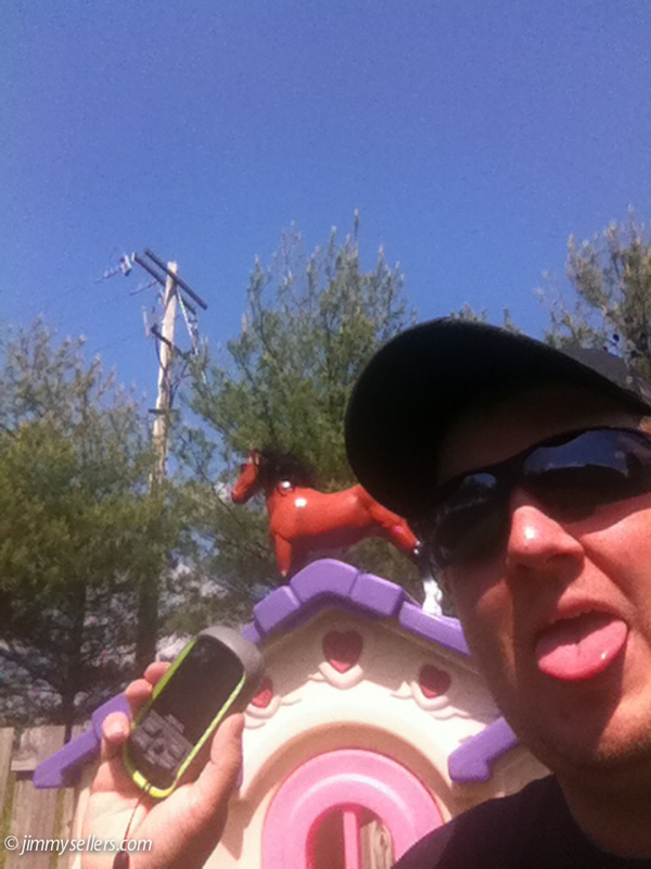
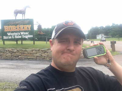
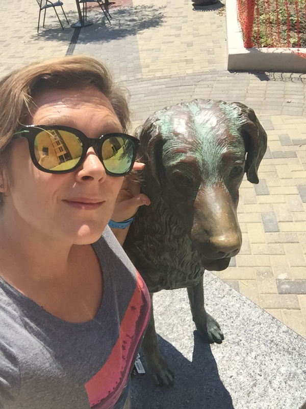
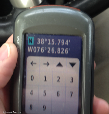
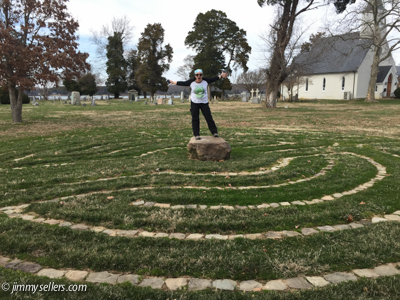
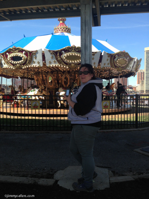
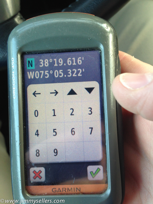
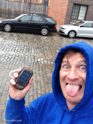
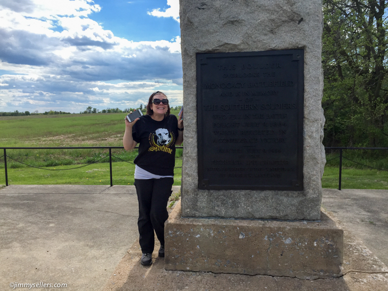
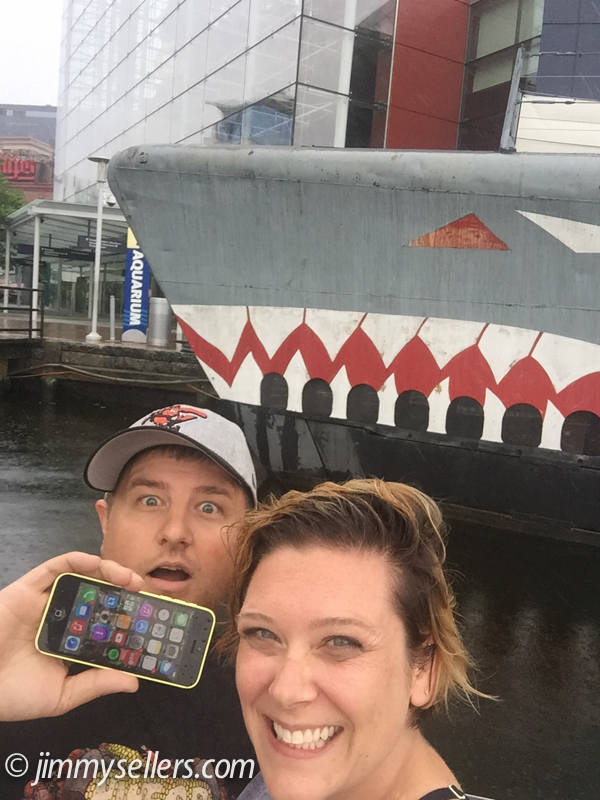
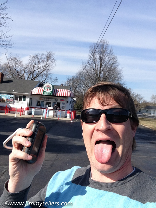
some pictures: HERE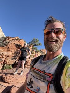
Cool HTML page built around these lies: HERE
ANOTHER TRIP ACROSS THE COUNTRY: Phish Dick’s 2026
I can’t believe I get to write my favorite sentence again. I packed up my campervan, Pervvie, and headed across the country.
This time I was making my way to Denver to see my favorite rock and/or roll band. Immediately after that, I somehow scored a permit to hike Angels Landing in Zion. Those were my two main goals.
Unfortunately, I also recently discovered that collecting contiguous Geocaching counties is a thing. Apparently I needed another completely meaningless goal to complicate my life. So that was going to stutter-step my driving pattern while I connected the dots of a never-ending puzzle.
I made my way west, doing what I always do. Driving, Geocaching, zigzagging, graveyards, counties, puzzles, Culver’s, a giant wooden cowboy, and even some secret treasure hunting thrown in. I made my way to Topeka for the Cache Odyssey and the Kansas State Capitol. From there I ended up in Alma for Mexican food and fajitas before making the final push into Denver.
Somewhere along the way this brand-new stupid county goal got completely out of hand. I started the trip with 219 contiguous counties. By the time I reached Denver I had 525 and had connected the two coasts with one ridiculous thin green line through the heartland. I didn’t even know this was a thing until recently. Now it was affecting how I drove across the entire country.
Of course it was.
I spent Labor Day weekend in Denver. Three nights of music, Geocaching, riding the scoot-scoot, and doing what I do. The second night I met a Triple Crown thru-hike legend named Lee. Thanks to everyone who helps make this life as amazing as it is.
Monday morning I packed up Pervvie and continued toward Zion.
I had two days to get from Denver to Zion. No problem.
This time in my planning I bit off more than I could chew. I made a plan and had to abandon almost an entire day worth because my ambitions are bigger than the amount of hours of the day I want.
I still made a lot of great progress. I was able to complete a few different challenges I had been working on, being so far from home. I made my way through different parts of Colorado and counties that I had not seen before. I drove through a lot of passes and took a bunch of pictures of the Rocky Mountains.
The sunset my first night on the road was the most beautiful sunset I’ve seen in a couple years. Which makes sense. I haven’t been out here in a couple years.
I made my way as far as I could and then made a lovely viewpoint my home for the night. I was hoping I’d get another free hour but forgot Utah is in the same time zone.
Eventually I made my way safely to Zion, where I had a campsite for the next two nights.
Angels Landing was a big deal for me.
Years ago I created a list of the top 1,000 most-favorited caches in the United States and started chasing them. Angels Landing was one of the last “obtainable” ones left from that original list. I had tried to make this happen enough times in the past that when everything finally went perfectly, it truly counted.
I got on the shuttle at 6:55 and I think I was on the third bus. I was hiking before 8 AM.
I met another solo hiker and we started talking. We ended up spending the entire day together. He was from Miami.
“What’s your name?”
“Lee.”
You’ve got to be fucking kidding me.
My second Lee of this road trip. Another legendary hiker.
I had gotten my ass kicked by the Colorado air on a short uphill hike a couple days earlier and had been a little bit of a drama queen about whether I was even going to be able to do Angels Landing. Turns out I was going to be just fine.
I’m trying to slow my pace down and enjoy rather than just do. We made our way up, stopped when we wanted, took pictures, had lunch, and got all of the obligatory pictures that I wanted. We hung around at the top. There was no rush.
The hike down was easy.
This was one of my favorite days of my entire life.
I made my way back to the campground, showered, had lunch and took a nap. Later, Lee and I met up again at the brewhouse in town and I drank his last beer with him.
Then it was time to move again.
I started making my way east toward southeastern Utah, although “making my way east” apparently meant spending more than a week wandering around the Four Corners.
There was a reason for that.
The reason I spent so much time around the Four Corners was because I was looking for a treasure of a different kind. It wasn’t where I was hoping it was. I don’t go many places without there being a geocache, but this was one of them.
Even though my other treasure hunt didn’t pay off, as I was leaving this remote area I found a 20-year-old geocache hidden inside of a dog bone.
So that was worth the price of adventure and failure alone. 🙂
Eventually I finally visited the actual Four Corners. I made my way through Cortez and Durango and ended up in Silverton.
Silverton was supposed to be another stop. Instead, I woke up there two mornings in a row, which is a very unusual feeling for me on a road trip.
I rented an ATV for a day because I just wanted to go play in the mountains. Somehow Geocaching managed to improve that too. I found two different lonely 2003 ammo cans, both still containing their original logbooks.
That wasn’t even the plan. That was a bonus because I just wanted to be out on an ATV for a day!
I was also able to clean up a few different challenges I’d been working on now that I had gotten so far from home. This had become an incredible road trip.
Eventually I woke up in Silverton and decided this really was the day I needed to start making my way home.
East was officially the next destination.
I left Silverton, had breakfast and a morning stroll in Durango, and then started heading east. I made a few random stops when extremely highly favorited geocaches jumped out at me, but my main goal was miles.
Or at least I kept telling myself that.
I woke up in Texas and started driving just in time to face the most beautiful sunrise. I had lost my first of two hours just before bed the night before. Getting east was my only concern.
Even though that was the case, I still found myself making time for new counties and other fun-looking geocaches.
Of course I did.
I stopped for a delicious breakfast sandwich and noticed there was a 2003 hide right next door. Then a windmill park. Another place I never would have stopped without having Geocaching in my life.
I made it as far east as I could until I ran out of daylight and then made another short push. I really wanted to finish the night at Buc-ee’s.
And I sure did.
I had dinner and breakfast, with a small nap in between, at one of everybody’s favorite restaurants, Buc-ee’s. I’m surprised that was my only one of the trip, but I didn’t spend a lot of time around Texas.
At this point I could have continued straight home.
Instead, I decided one more day on the road wouldn’t hurt anybody.
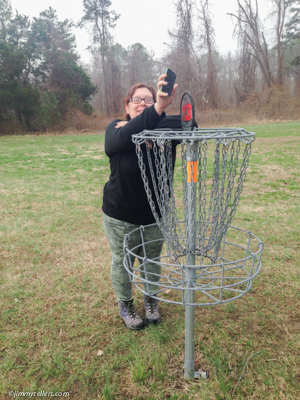
So I diverted from straight home to visit Georgia and South Carolina. I probably wasn’t going to accidentally, organically be this close again anytime soon. Hopefully two more Cache Odysseys, and hopefully a round of frisbees in South Carolina.
That would bring me down to only one state left to do that stupid hobby in.
Boy, I really am a collector at the core of me.
I woke up in the morning right where I wanted to be. I only came here for the Georgia Cache Odyssey, and my eyes popped out of my head when I saw what else was to be had and done. I know I was just through this way in the last few years, but an amazing batch of new geocaches had been born and flourished in that short time.
I did not plan to hang around this town for too long, but my plans never go my way, which is fine with me.
I had another awesome experience with Geocaching that reminded me exactly why I keep doing this.
I was at a church finding a gadget cache that was a giant mousetrap. While on site, I ran into a fella who ended up being the maker’s pop. He was so warm and inviting, and we stood around laughing and chatting for quite a few minutes.
Just another one of those unexpected interactions and friendships that I wouldn’t have without Geocaching.
From Georgia it was off to South Carolina for their Odyssey and a round of frisbees to check a completely different checkbox.
All it took was telling my wife that I had to visit Aiken, South Carolina, and the horse person inside of her had no problem with me extending my trip by another day or two.
Adding another day or two allowed me to hopefully find three more Cache Odysseys. Georgia and South Carolina were first. I have found a bunch of these now, and these two stand out in the top three easily. I’m glad I made the detour and made time for them.
I had slowed down on my county collecting now that my contiguous line was complete, but apparently “slowed down” and “stopped” are two very different things.
There are always more boxes.
There are always more lists.
Last I checked, I had found 69% of the current top 1,000 most-favorited caches in the United States. But that doesn’t include old and archived ones that disappear every time I run a new list. I have a feeling I’m close to 90% of that original list I made years ago.
The other thing I’ve been looking at lately is total collected favorite points. Somehow I’ve gotten myself into the top 100 in the United States for favorite points.
That’s my big brag these days. 🙂
Finally, I started the last day of this road trip in South Carolina with my last Buc-ee’s visit.
Before getting anywhere, I had to visit the site of an atomic bomb drop.
This wasn’t on my radar in any way, but I’m glad I took a peek at the map before driving away. Some of the logs I read had me terrified.
It wasn’t bad.
Officially starting my day, my first and really only destination was the North Carolina Odyssey. After that, it was just getting north as quickly as I could, hopefully before I ran out of driving daylight.
That didn’t happen because of DC, but I expected it.
It wasn’t too long after dark when I was finally reunited with my dogs and wife…
In no particular order.